
Province Ulster | ||
 | ||
Derrymony (from Irish: Doire Móna meaning ‘The Oakwood of the Bog’) is a townland in the civil parish of Templeport, County Cavan, Ireland. It lies in the Roman Catholic parish of Templeport and barony of Tullyhaw.
Contents
Map of Derrymony, Corville, Co. Cavan, Ireland
Geography
Derrymony is bounded on the north by Prospect townland in Corlough parish, on the west by Tirnawannagh townland in Corlough parish, on the south by Erraran townland and on the east by Killyneary and Brackley, Templeport townlands. Its chief geographical features are Brackley Lough, streams, forestry plantations and dug wells.
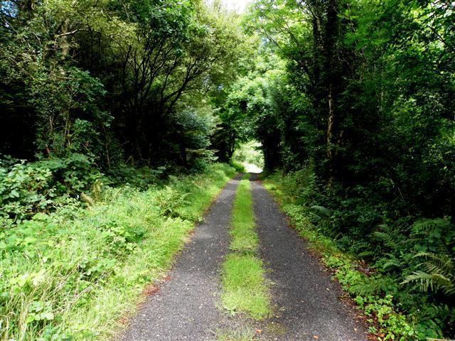
Derrymony is traversed by minor public roads and rural lanes.
The townland covers 254 statute acres.
History
The 1609 Baronial Map depicts the townland as part of Gortanill.
The 1665 Down Survey map depicts it as Derrymony.
William Petty's 1685 map depicts it as Deremony.
In the Hearth Money Rolls of 1662 there were no people paying the Hearth Tax in the townland.
The Tithe Applotment Books for 1827 list ten tithepayers in the townland.
Griffith's Valuation of 1857 lists seventeen landholders in the townland.
In the 1901 census of Ireland, there are seven families listed in the townland.
In the 1911 census of Ireland, there are only five families listed in the townland.
Antiquities
There do not seem to be any structures of historical interest in the townland.