
Vehicle registration JH Population 182,527 (2011) | Time zone IST (UTC+5:30) Website giridih.nic.in | |
 | ||
Deori block is a community development block that forms an administrative division in Khuri Mahua subdivision of Giridih district in the Indian state of Jharkhand.
Contents
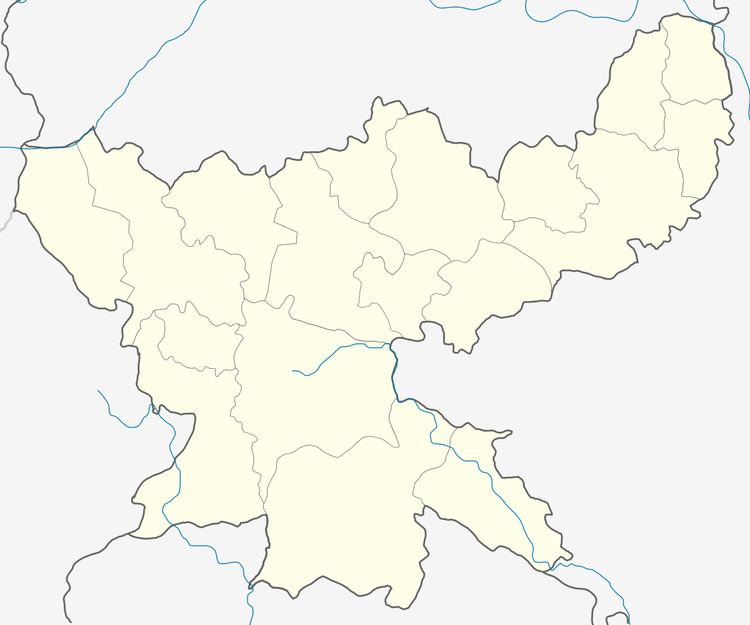
Map of Deori, Jharkhand 815314
Geography
Deori is located at 24°30′36″N 86°11′33″E.
Deori CD Block covers an area of 42,351.29 hectares (104,652.3 acres), out of which 9,354.23 hectares (23,114.8 acres) was forest area.
Panchayats in Deori CD Block are:Khatori, Jamkhukharo, Chiknadih, Manikbad, Bairiya, Barwabad, Salaiyadih (Khorodih), Marudih, Harladih, Dhengadih, Sikrudih, Tilakdih, Bhelwaghati, Guniyathar, Ghaskaridih, Ghose, Jamdiha, Asko, Nekpur, Parsatand, Bedodih, Hariyadih, Chahal, Chatro, Gadidighi, Bansdih and Kosogondo Dighi.
River in Deori CD Block: Kunda.
Demographics
As per 2011 Census of India Deori CD Block had a total population of 182,527, all of which were rural. There were 94,686 males and 87,841 females. Scheduled Castes numbered 28,118 and Scheduled Tribes numbered 22,540.
Literacy
As of 2011 census, the total number of literates in Deori CD Block was 93,433 out of which 60,145 were males and 33,188 were females.
Economy
Deori CD Block is home to mica mines.