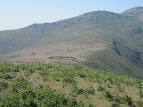
Country India District Tirap ISO 3166 code IN-AR Elevation 1,672 m Parent range Eastern Ghats | State Arunachal Pradesh Time zone IST (UTC+5:30) Vehicle registration AR Mountain range Eastern Ghats | |
 | ||
Similar Eastern Ghats, Mahendragiri, Malayagiri, Sandakphu, Anamudi | ||
Deomali is a census town in Tirap district in the state of Arunachal Pradesh, India.
Contents
Map of Deomali, Barakutni, Odisha 763008
Demographics
As of 2001 India census, Deomali had a population of 6060. Males constitute 53% of the population and females 47%. Deomali has an average literacy rate of 62%, higher than the national average of 59.5%: male literacy is 69% and, female literacy is 55%. In Deomali, 17% of the population is under 6 years of age.In 2001 Tirap Government College was shifted to Deomali from Khonsa. Presently, the college has 13 faculty members and 327 students.
Media
Deomali has an All India Radio Relay station known as Akashvani Deomali. It broadcasts on FM frequencies.
References
Deomali Wikipedia(Text) CC BY-SA
