
Vehicle registration JH 15 Population 142,966 (2011) | Time zone IST (UTC+5:30) Elevation 268 m | |
 | ||
PIN 814112 (B.Deoghar)814113 (Deoghar College)814114 (Deosang BT)814115 (Hindipith) | ||
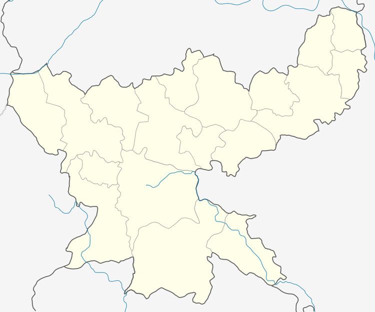
Deoghar is a community development block that forms an administrative division in Deoghar district, Jharkhand state, India.
Contents
Geography
Deoghar, the eponymous CD Block headquarters, is located at 24°29′11″N 86°42′4″E.
Gram panchayats
Gram panchayats in Deoghar CD Block are: Andharigadar, Baswaria, Chandih, Dharwadih, Gauripur, Gidhni, Gwalbadia, Jhhiliuachandih, Kenmankathi, Khaspaika, Khoripanan, Kokribank, Mahtodih, Udaypura, Manikpur, Masanjora, Awadih, Pichharibad, Punasi, Sangramlorhiya, Satar Khorposh, Sarsa, Shankri and Tabhaghat.
Demographics
As per 2011 Census of India Deoghar CD Block had a total population of 142,966, all of which were rural. There were 74,498 (52 %) males and 68,368 (48 %) females. Scheduled Castes numbered 26,535 and Scheduled Tribes numbered 10,636. Population below 6 years was 26,512.
Literacy
As per 2011 census the total number of literates in Deoghar CD Block was 73,640 (63.24 % of the population over 6 years) out of which 46,277 (63 %) were males and 27,413 (37 %) were females.
As per 2011 census, literacy in Deoghar district was 64.85.Literacy in Jharkhand (for population over 7 years) was 66.41% in 2011.Literacy in India in 2011 was 74.04%.