
OS grid reference SU725065 Post town HAVANT Dialling code 023 | Sovereign state United Kingdom Postcode district PO9 | |
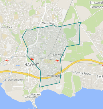 | ||
Denvilles is a locality within Havant to the north of Warblington railway station. In 1877 it consisted of a solitary farm but by 1897 there were several roads of detached residencies. Slowly the area grew, and in the 1960s it doubled in size as smaller housing estates for private ownership were built. The area has a small convenience store but the adjoining satellite health centre moved in July to centralised premises elsewhere. Despite this the Borough Council designates the area UA2 not a priority for extra investment.)
Map of Denvilles, Havant, UK
References
Denvilles Wikipedia(Text) CC BY-SA