
Postal codes 54570 Area 14.42 km² Local time Monday 7:09 PM Dialling code 06594 | Time zone CET/CEST (UTC+1/+2) Dialling codes 06594 Population 588 (31 Dec 2008) Postal code 54570 | |
 | ||
Weather 5°C, Wind W at 14 km/h, 90% Humidity | ||
Cold water challenge 2014 mv densborn
Densborn is an Ortsgemeinde – a municipality belonging to a Verbandsgemeinde, a kind of collective municipality – in the Vulkaneifel district in Rhineland-Palatinate, Germany. It belongs to the Verbandsgemeinde of Gerolstein, whose seat is in the like-named town.
Contents
- Cold water challenge 2014 mv densborn
- Map of 54570 Densborn Germany
- Haus densborn mit fischteige
- Location
- Climate
- History
- Municipal council
- Mayor
- Coat of arms
- Buildings
- Transport
- References
Map of 54570 Densborn, Germany
Haus densborn mit fischteige
Location
The municipality lies in the Vulkaneifel, a part of the Eifel known for its volcanic history, geographical and geological features, and even ongoing activity today, including gases that sometimes well up from the earth.
Climate
Yearly precipitation in Densborn amounts to 864 mm, falling into the highest third of the precipitation chart for all Germany. At 74% of the German Weather Service’s weather stations lower figures are recorded. The driest month is April. The most rainfall comes in November. In that month, precipitation is 1.5 times what it is in April. Precipitation hardly varies. At only 11% of the weather stations are lower seasonal swings recorded.
History
Densborn had its first documentary mention more than 1,100 years ago in Prüm Abbey’s directory of holdings, the Prümer Urbar.
As early as the 9th century, however, a castle was mentioned that is believed to have been built by this same abbey. The last holders were the Lords of Anethan, hereditary Marshals of Luxembourg.
In 1289, the local church was raised to parish church.
Municipal council
The council is made up of 12 council members, who were elected by majority vote at the municipal election held on 7 June 2009, and the honorary mayor as chairman.
Mayor
Densborn’s mayor is Alfred Brück.
Coat of arms
The German blazon reads: Unter rot-silbern durch Zinnenschnitt geteiltem Schildhaupt und über silbernem Schildfuß, darin ein schwarzes Richtrad, in rot ein schreitender, silbern gekrönter und silbern bewehrter Löwe.
The municipality’s arms might in English heraldic language be described thus: Gules a chief per fess embattled of five of the field and argent and a base of the second charged with a breaking wheel spoked of seven sable, between which a lion passant Or, armed, langued and crowned of the second.
The German blazon makes no mention of the lion’s tongue’s tincture, but it appears as silver (argent).
The division of the chief in these arms in the form of crenellations on a castle wall (“embattled”) recalls Densborn castle. The Lords of Anethan, the castle’s last holders, bore arms charged with a lion, which has also been incorporated into the municipality’s arms, albeit with the tinctures reversed (Or on gules – gold on red – instead of gules on Or, as the Lords bore them). The breaking wheel in the base refers to the municipality’s former patron saint, Catherine (Mary Magdalene now holds this place).
Buildings
Transport
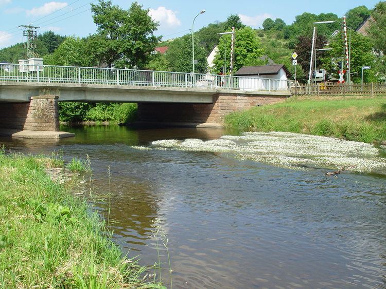
The halt at Densborn lies on the Eifelbahn (Cologne-Euskirchen-Gerolstein-Trier railway line), on which there is public rail transport between Gerolstein and Trier.
Public transport is integrated into the Verkehrsverbund Region Trier (VRT), whose fares therefore apply.