
Lowest elevation 45 m (148 ft) Postal code 265 00 Local time Monday 8:39 AM | Time zone EET (UTC+2) Vehicle registration AX Area code 2610 | |
 | ||
Weather 14°C, Wind N at 2 km/h, 76% Humidity | ||
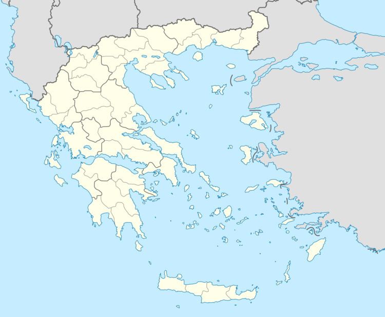
Demenika (Greek: Δεμένικα) is a village/suburb in the municipality of Patras, Achaea, Greece. It lies 5 kilometres (3.1 mi) south of the city centre, south of the river Glafkos. It is part of the community of Saravali within the municipal unit of Messatida. It is 2 km northeast of Ovrya and 4 km east of Paralia. The population was 2,783 in 2011. The Greek National Road 33 (Patras - Tripoli) passes through the village, and the new Greek National Road 9 (Patras - Pyrgos) passes south of the village.
Map of Demenika, Greece
References
Demenika Wikipedia(Text) CC BY-SA