
Postal code 263 xx, 264 xx, 265 00 Elevation 5 m Area code 2610 | Time zone EET (UTC+2) Vehicle registration ΑΧ Local time Wednesday 10:28 PM | |
 | ||
Weather 15°C, Wind E at 0 km/h, 62% Humidity | ||
Paralia (Greek: Παραλία meaning: beach) is a town and a former municipality in Achaea, West Greece, Greece.
Contents
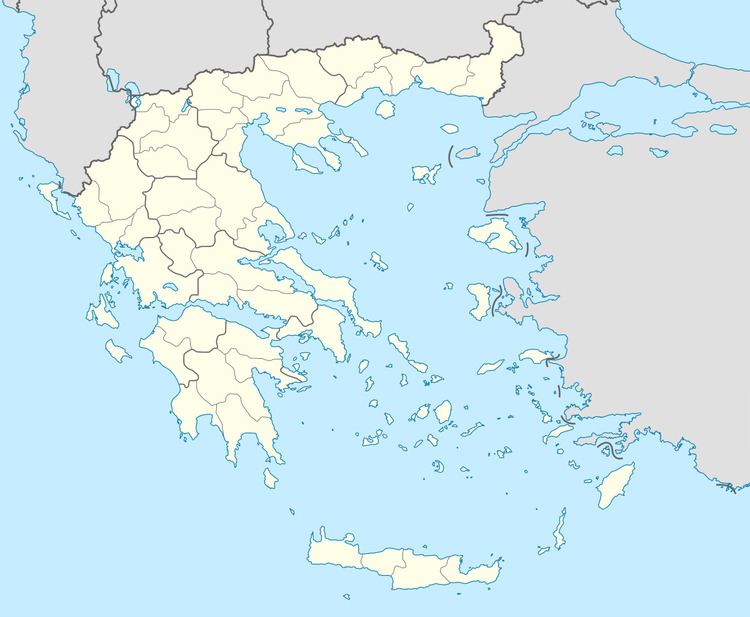
Map of Paralia, Greece
Since the 2011 local government reform it is part of the municipality Patras, of which it is a municipal unit. The municipal unit has an area of 11.978 km2. It is a suburb of Patras, about 6 km southwest of the city centre. The town population is about 6,500. It was a popular beach resort for residents of Patras till mid '80s. The new Greek National Road 9 (Patras - Pyrgos) runs south of the town.
The railway Patras - Pyrgos runs parallel to the coast, at about 200 m from the shore.
Subdivisions
The municipal unit Paralia is subdivided into the following communities:
References
Paralia, Achaea Wikipedia(Text) CC BY-SA