
Population 713 (2011 census) LGA(s) Moreton Bay Region | Postcode(s) 4514 Postal code 4514 | |
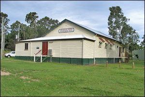 | ||
Delaneys Creek is a rural locality in the Moreton Bay Region, Queensland, Australia. It is south of D'Aguilar.
Contents
Map of Delaneys Creek QLD 4514, Australia
Delaneys Creek State Forest occupies the south east corner of the locality. Delaneys Creek and Monkeybong Creek both flow northwestwards into the Stanley River.
Delaneys Creek State School, located within the locality, is a primary school run by the Queensland state government. It has an enrolment of 198 pupils, and was founded in 1892.
Demographics
In the 2011 census, Delaneys Creek recorded a population of 713 people, 50.4% female and 49.6% male. The median age of the Delaneys Creek population was 37 years, the same as the national median. 81.8% of people living in Delaneys Creek were born in Australia. The other top responses for country of birth were England 4.2%, New Zealand 2.4%, South Africa 1.5%, Germany 1.3%, Spain 0.6%. 90.2% of people spoke only English at home; the next most common languages were 1.4% Afrikaans, 1% German, 0.6% Dutch, 0.6% Japanese, 0.6% Danish.