
Country Egypt Elevation 8 m (26 ft) Area code(s) (+20) 50 Local time Sunday 11:59 PM | Time zone EET (UTC+2) Population 62,177 (2012) | |
 | ||
Weather 12°C, Wind N at 5 km/h, 89% Humidity | ||
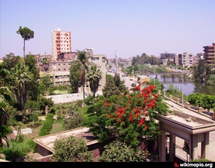
Dekernes Egyptian Arabic: دكرنس [deˈkeɾnes]) is a town in the center of the Dakahlia Governorate of Egypt. It is situated about 20 km east of Mansoura, the capital of Dakahlia.
Contents
Map of Dekernes, Dakahlia Governorate, Egypt
Overview
Along with Mansoura and other northern cities, Dekernes forms a part of the Dakahlia Governorate. The town is home to one of the oldest secondary schools in Egypt, Ali Mubarak School, which was built in 1911.
Climate
Dekernes is classified by Köppen-Geiger climate classification system as hot desert (BWh).
Villages
Dekernes is the main city in markaz Dekernes. It is surrounded by many small villages which form a part of markaz Dekernes such as:
Local unit of Demouh:
Local unit of Demeshalt:
Local unit of Negeir:
Others:
References
Dekernes Wikipedia(Text) CC BY-SA