
Country Egypt Time zone EET (UTC+2) Area 3,500 km² | Website Dakahliya Population 5.818 million (2014) | |
 | ||
Clubs and Teams El Mansoura SC, Ittihad Nabarouh Points of interest Dar Ibn Luqman, Mansoura Zoo, Statue Om Kalthoum, Um Kulthum Square | ||
Coca cola ramadan 2012 doses of happiness dakahlia governorate
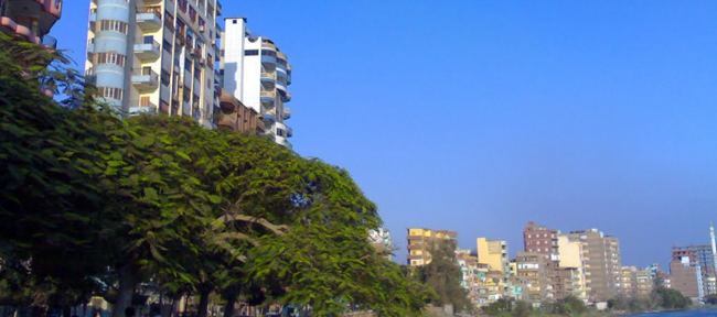
Dakahlia Governorate (Egyptian Arabic: محافظة الدقهلية Muḥāfẓet El Dakahlia, [ed.dæʔæhˈlejjæ]) is an Egyptian governorate lying northeast of Cairo. Its area is approximately 3,500 km² and it has a population of approximately 6,000,000. The capital is Mansoura.
Contents
- Coca cola ramadan 2012 doses of happiness dakahlia governorate
- Map of Dakahlia Governorate Egypt
- Population
- Overview
- Cities
- Industrial zones
- References
Map of Dakahlia Governorate, Egypt
Population
According to population estimates from 2015, the majority of residents in the governorate live in rural areas, with an urbanization rate of 28.2%. Out of an estimated 5,949,001 people residing in the governorate, 4,271,428 people live in rural areas as opposed to 1,677,573 in urban areas.
Overview
The Urology and Nephrology Center of Mansoura University Faculty of Medicine also features a renowned kidney center. Founded in 1983. Under the management of Dr. Mohamed A. Ghoneim.
Cities
Industrial zones
According to the Egyptian Governing Authority for Investment and Free Zones (GAFI), in affiliation with the Ministry of Investment (MOI), the following industrial zones are located in this governorate: