
Palestine grid 154/150 | ||
 | ||
Name meaning "Monastery of the saint" Weather 13°C, Wind NE at 8 km/h, 60% Humidity | ||
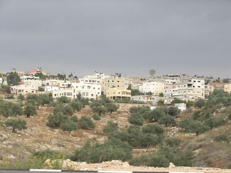
Deir Qaddis (Arabic: دير قديس) is a Palestinian town in the Ramallah and al-Bireh Governorate in the central West Bank, located sixteen kilometers west of Ramallah. According to the Palestinian Central Bureau of Statistics, the town had a population of approximately 1,942 inhabitants in 2007. The town consists of 8,207 dunams, of which 438 dunams are classified as built-up area. As a result of the 1995 Interim Agreement on the West Bank and the Gaza Strip, 8.9% of Deir Qaddis' land was transferred to the Palestinian National Authority, but Israel still retains full control of 91.1% of the town.
Contents
Map of Dayr Qadis
History
Deir Qaddis means the "monastery of the saint". French explorer Victor Guérin found in the Kharbet (=ruin) Deir Kaddis remains of houses built with large blocks and several cisterns dug into the rock, while SWP (1882) notes a ruined monastery and cave near by the village, and that the name of the village indicates that a convent once existed here.
Ottoman era
The village was incorporated into the Ottoman Empire in 1517 with all of Palestine, and in 1596 it appeared in the tax registers as Dayr Qiddis in the Nahiya of Ramlah of the Liwa of Gazza. It had a population of 11 households, all Muslim, and paid taxes on wheat, barley, summer crops, olive- and fruit trees, goats and beehives, and a press for olives or grapes.
No sherds from the early Ottoman era have been found here.
In 1863 Guérin estimated that Deir Kaddis had about 350 inhabitants, while an Ottoman village list of about 1870 showed Der Kaddis had 36 houses and a population of 112, though the population count included only the men. In 1883, the Palestine Exploration Fund's Survey of Western Palestine described Deir el Kuddis as a "small hamlet on a high hill-top, with gardens to the north [..] There is a well on the east."
British Mandate era
In the 1922 census of Palestine, conducted by the British Mandate authorities, Dair Qaddis had a population of 299 inhabitants, all Muslims, increasing in the 1931 census to a population of 368, still all Muslim, in 82 houses.
In 1945 the population of Deir Qaddis was 440 Muslims, with 8,224 dunams of land, according to an official land and population survey. 1,815 dunams were used for plantations and irrigable land, 1,069 dunams for cereals, while 8 dunams were built-up (urban) land.
1948-1967
In the wake of the 1948 Arab–Israeli War, Deir Qaddis was ruled by the Hashemites of Jordan.
Post-1967
Deir Qaddis came under Israeli occupation along with the rest of the West Bank after the 1967 Six-Day War.
The town today contains a mosque, three schools (two primary and one secondary), two medical clinics and a sports club.
The town's prominent families are Husain, Qattosa, Nasser, Abu Zeid, Hamada, Awadh, Abu Laban and Kreish.