
PIN 341022 Population 9,498 (2011) ISO 3166 code ISO 3166-2:IN | Time zone IST (UTC+5:30) Vehicle registration RJ Local time Monday 12:12 AM | |
 | ||
Weather 20°C, Wind E at 3 km/h, 29% Humidity | ||
Deh is a village and an Additional/Sub tehsil in Jayal tehsil of Nagaur district in the Indian state of Rajasthan.
Contents
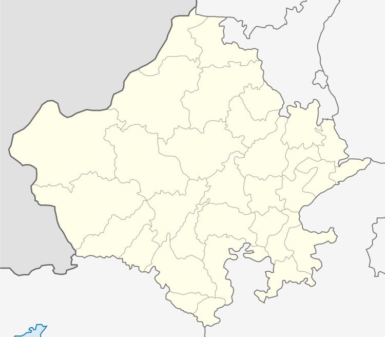
Map of Deh, Rajasthan 341022
The village is situated at Nagaur-Ladnun National Highway-65 in Jayal tehsil, 20 km away from Nagaur.
Geography
Deh is located at 27.30°N 73.90°E / 27.30; 73.90. It has an average elevation of 292 metres (958 feet).
Demographics
As of 2011 India census, Deh had a population of 9,498. Males constitute 4,931 of the population and females 4,567.
Temples
Kunjal Mata Temple of goddess Kunjal is located in Deh village of Jayal tehsil in Nagaur district of Rajasthan, India, and 1.3 km away from Deh's Bus Station on Nagaur-Ladnun National Highway-65.
- Kunjal Mata is kul devi of Pareek Brahmin's (Joshi Sakraniya and many other Pareek gotras). Temple area is 38 Bigha. It is A Historical Place of Rajasthan.
- Old Cenatops and Sati Mata Chabutra of former Rulers of Udawat Rajputs Near Talab (Water Lake).
- Karni Mata Temple Near Talab (Built by Shri Gopal Singh Ji Udawat S/o Late Kamdar Thk. Shri Dhonkal Singh Ji Udawat).
- Jain Temple and Nasiyan.
- Bibi Mai Mosque (500 Meters from Village Bus Stand) This is A Historical & Holly Place of Muslims.
References
Deh, India Wikipedia(Text) CC BY-SA