
Primary inflows Max. width 1.3 km (0.81 mi) Area 4.1 km² Length 6.1 km | Primary outflows Partridge Creek Max. length 6.1 km (3.8 mi) Surface area 4.1 km (1.6 sq mi) Surface elevation 259 m Width 1.3 km Outflow location Partridge Creek | |
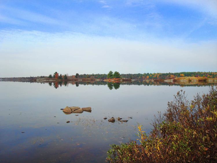 | ||
Deerock Lake is a lake in the Moira River in Tweed, Hastings County and Addington Highlands, Lennox and Addington County in Ontario, Canada.
Map of Deerock Lake, Addington Highlands, ON, Canada
The lake is about 6.1 kilometres (3.8 mi) long and 1.3 kilometres (0.8 mi) wide and lies at an elevation of 259 metres (850 ft) about 5 kilometres (3.1 mi) west of the community of Northbrook on Ontario Highway 41 and about 5 kilometres (3.1 mi) north of the village of Flinton. Only the southwest tip of the lake lies in Tweed, Hastings County. The small Deerock Conservation Area operated by Quinte Conservation at the southeast of the lake and at the end of Deer Rock Lake Road, provides public access to the lake, and includes parking ($5/day) and a boat launch.
The primary inflow is Partridge Creek at the northwest. There are also eight unnamed creek secondary inflows at the west, northwest, three at north including one from Twin Lakes, and three at the south, including one from Denis Lake. Partridge Creek is also the primary outflow at the east end of the lake, controlled by the Deerock Dam. The creek flows via the Skootamatta River and Moira River into the Bay of Quinte on Lake Ontario at Belleville.