
Established 1 January 1994 Time zone IST (UTC+5:30) Founded 1 January 1994 Literacy 73.1% | PIN 768 xxx Area 2,782 km² Population 312,164 (2011) | |
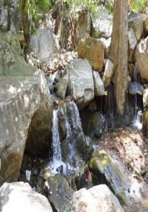 | ||
Debagarh District, also known as Deogarh District(Odia: ଦେବଗଡ଼ ଜିଲ୍ଲା) is a district of Odisha state, India. It is located in the northern part of the state. Debagarh is the district headquarters. The district covers an area of 2781.66 km². The district has a population of 274,095 (2001 Census). As of 2011 it is the least populous district of Odisha (out of 30).
Contents
Map of Deogarh, Odisha
History
The district was created on 1 January 1994 by bifurcating the erstwhile Sambalpur district. It is currently a part of the Red Corridor.
Economy
In 2006 the Ministry of Panchayati Raj named Debagarh one of the country's 250 most backward districts (out of a total of 640). It is one of the 19 districts in Odisha currently receiving funds from the Backward Regions Grant Fund Programme (BRGF).
Education
There are a number of educational institutes are present out of which Raja Basu Dev High School and Govt. college at Debagarh town are some of them.
Demographics
According to the 2011 census Debagarh district has a population of 312,164, roughly equal to the nation of Iceland. This gives it a ranking of 571st in India (out of a total of 640). The district has a population density of 106 inhabitants per square kilometre (270/sq mi) . Its population growth rate over the decade 2001-2011 was 13.88%. Debagarh has a sex ratio of 976 females for every 1000 males, and a literacy rate of 73.07%.
Vidhan sabha constituency
The following is the 1 Vidhan sabha constituency of Debagarh district and the elected members of that area