
 | ||
The Dead Kultuk (Russian: Мёртвый Култук) is a bay of the Caspian Sea in the coast of Kazakhstan. The bay was known as 'Tsesarevich Bay' and then as 'Komsomolets Bay' in the past. Durneva Island lies near the entrance to the Dead Kultuk.
It had a distinct coastline in former times, but since the 1990s, with higher Caspian Sea levels, the water penetrates inland through the neck of the bay producing waterlogged marshes. Located at the mainland end of the bay, the Kaydak Inlet cuts deep into the coast extending east and then southwards. Nowadays both the bay and the inlet are filled with Caspian Sea water. Currently there are oil fields in the area.
Cartography
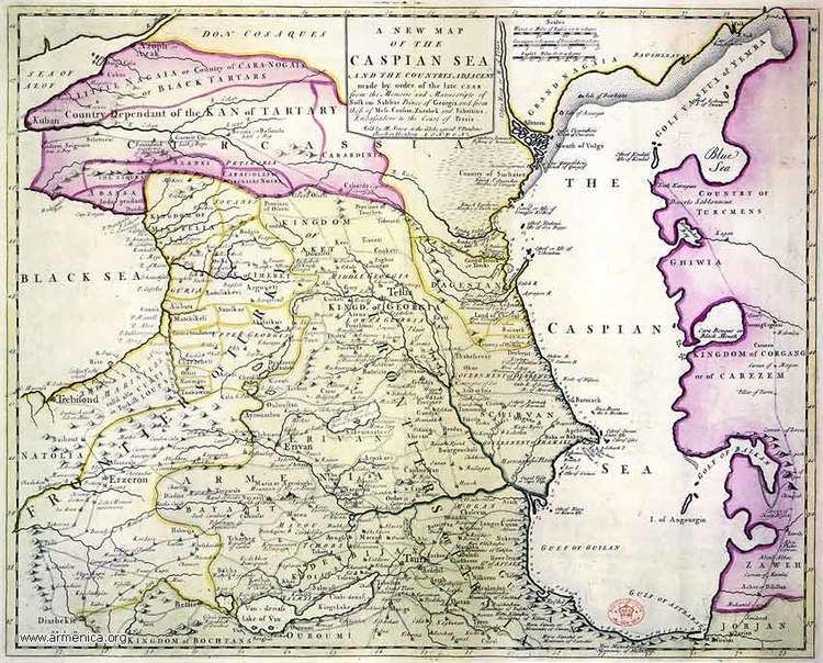
Owing to its special colour the Dead Kultuk is likely the bay which appears in early maps of the Caspian Sea as 'Blue Sea' (French: Mer Bleue in maps in that language). The area was cartographed by Fedor Ivanovich Soimonov during the Caspian Expedition, which surveyed the Caspian Sea from 1719 to 1727, but was only accurately described by G. S. Karelin in 1832.