Demonym(s) Biltenaar Area code 030, 0346 Local time Saturday 7:11 PM | Elevation 4 m (13 ft) Time zone CET (UTC+1) Area 67.13 km² | |
 | ||
Postcode 3615, 3720–3732, 3737–3739 Weather 11°C, Wind N at 0 km/h, 85% Humidity Points of interest Landgoed Vollenhoven, Provinciaal JitsArt Museum, Landgoed Oostbroek | ||
drone video loosdrecht and de bilt the netherlands
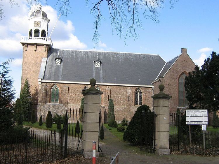
De Bilt ( [də ˈbɪlt]) is a municipality and a town in the Netherlands, in the province of Utrecht. De Bilt had a population of 42,097 in 2014 and is the seat of the headquarters of the Royal Dutch Meteorological Institute, KNMI.
Contents
- drone video loosdrecht and de bilt the netherlands
- Map of De Bilt Netherlands
- Population centres
- References
Map of De Bilt, Netherlands
It is the ancestral home and namesake for the prominent Vanderbilt family of the United States.
Population centres
The municipality of De Bilt consists of the following cities, towns, villages and/or districts: Bilthoven, De Bilt, Groenekan, Hollandsche Rading, Maartensdijk, Westbroek.
Dutch Topographic map of the municipality of De Bilt, June 2015
References
De Bilt Wikipedia(Text) CC BY-SA
