
Highest elevation 250 m (820 ft) Time zone EET (UTC+2) Postal code 22415 Area code +961 | Lowest elevation 200 m (700 ft) Area 133 ha Local time Saturday 5:47 PM | |
 | ||
Weather 14°C, Wind NW at 3 km/h, 62% Humidity | ||
Daychounieh (Arabic: الديشونية translit. al-Dayšūniyat) (also Al-Daychounieh) is a village in the Matn District of the Mount Lebanon Governorate, Lebanon. Daychounieh is administered by Mansourieh municipality.
Contents
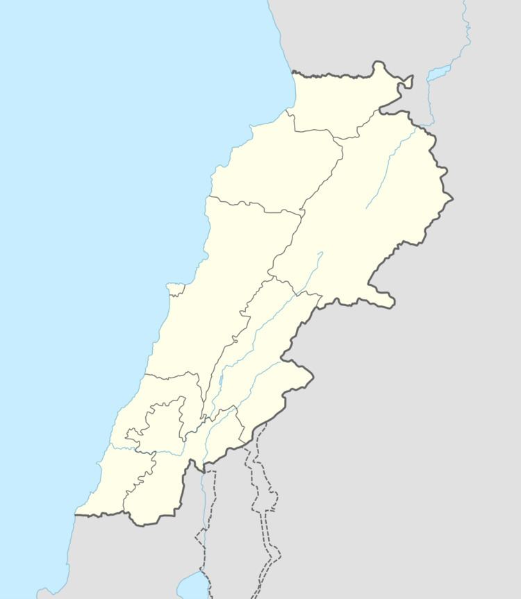
Map of Daychounieh, Lebanon
Geography
Daychounieh is 21 km to the Capital (Beirut), 26 km to the Province Administrative Center (Baabda) and 15 km to the Caza Administrative Center (Jdeideh).
Daychounieh is accessible from Mansourieh main road.
Beirut River flows east to west from Lebanon’s mountains passing through Daychounieh to the Mediterranean Sea.
Demographics
As of 2009, Daychounieh houses a population of approx. 800, of which 98 constitute the electorate and 153 are native residents. The number of residences is approx. 250.
References
Daychounieh Wikipedia(Text) CC BY-SA