
Type Road | Length 36 km (22 mi) | |
 | ||
Major suburbs Maroochydore, Bli Bli, Pacific Paradise, Marcoola, Mount Coolum, Coolum, Peregian Beach, Marcus Beach, Sunshine Beach, Noosa Heads Major cities Coolum Beach, Peregian Beach, Maroochydore | ||
David Low Way is a 36-kilometre (22 mi) Australian road connecting the many coastal townships of the Sunshine Coast with the two large city centres of Maroochydore in the south and Noosa Heads in the north. The route is an alternative coastal route to the Sunshine Motorway and passes through the sugar and fruit growing town of Bli Bli and then crosses the Sunshine Motorway. The road then travels north along the coast, through many coastal towns to the terminus at Noosa Heads.
Contents
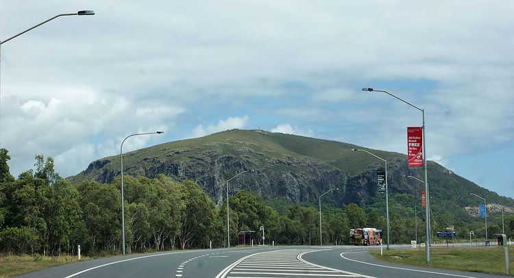
Map of David Low Way, Queensland, Australia
Noosa dunes 14 512 david low way castaways beach
References
David Low Way Wikipedia(Text) CC BY-SA