
Area 376.2 km² | Time zone BST (UTC+6) Local time Saturday 10:57 AM | |
 | ||
Website Official Map of Daudkandi Weather 27°C, Wind W at 11 km/h, 66% Humidity | ||
Daudkandi (Bengali: দাউদকান্দি) is an Upazila of Comilla District in the Division of Chittagong, Bangladesh.
Contents
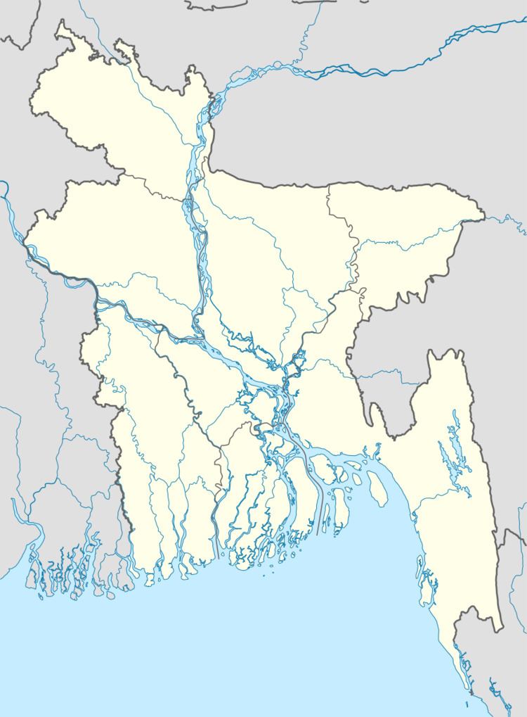
Map of Daudkandi, Bangladesh
Geography
Daudkandi is located at 23.5333°N 90.7167°E / 23.5333; 90.7167 . It has 77,102 households and a total area of 376.23 km².
Demographics
According to the 1991 Bangladesh census, Daudkandi had a population of 458, 503. Males constituted 50.44% of the population, and females 49.56%. The population aged 18 or over was 215, 409. Daudkandi had an average literacy rate of 29.9% (7+ years), compared to the national average of 32.4%.
Administration
Upazila Chairman: Major (Retd.) Mohammad Ali
Vice Chairman:
Woman Vice Chairman:
Upazila Nirbahi Officer (UNO): Muhammad Asaduzzaman
Daudkandi has 15 Unions 1 Pourosova, 281 Mauzas/Mahallas, and 467 villages.
Notable residents
References
Daudkandi Upazila Wikipedia(Text) CC BY-SA