Local time Saturday 10:14 AM | Time zone IST (UTC+5:30) | |
 | ||
Weather 27°C, Wind NW at 5 km/h, 27% Humidity | ||
Datyane is a village in the Niphad taluka, Nashik district of Maharashtra, India, situated on the river Banganga and on the Ozar-Kasabe Sukena connecting road. It shares borders with Narayangaon (Kherawadi) to the south, Shirasgaon to the north, Dixi and Ozar to the west and Owne and Theragaon to the east.
Contents
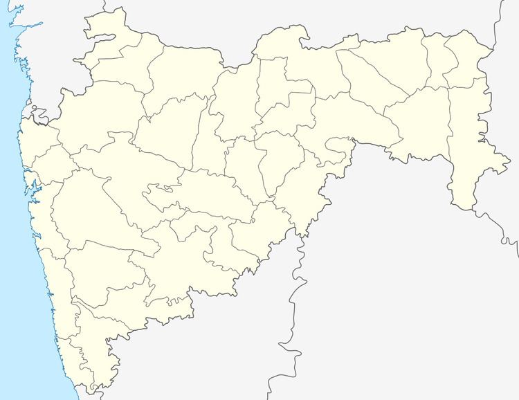
Map of Datyane, Maharashtra 422302
Economy
The population of this farming community is slightly over 3000. The village itself has 1,285 people (Male: 679, Female: 606). Major crops include grapes, sugarcane, onions, vegetables, wheat, jwar, bajra, ground nuts, and pulses, and villagers work in other vinyards in the area. Water is plentiful: farmers have access to irrigation supported by Kolhapur-type bunds and wells and the Gangapur, Maharashtra left canal. A few of the larger farmers also use irrigation siphons. The village is near both of the taluka's sugar factories and the Hindustan Aeronautics Limited plant in Ozar.
Schools are the Gram Panchayat primary school and the Maratha Vidyaprasarak Samaj high school.
Possible origin of name
There is a local belief that the names of Datyane and Jiwhale (on the opposite bank of the river) come from the age of Ramayana. At the time of Ramayana, when the god Ram killed the demon Marich the teeth of the Marich fell on one side of the Banganga river and the tongue fell on the other side. In Sanskrit teeth is 'Dant' and tongue is 'Jiwha'. These became 'Daat' and 'Jibha' in Marathi. 'Datyane' may be derived from Dant (Daat) and Jiwhale may come from Jiwha (Jibha).
