
Country United States County Butler FIPS code 39-20268 Elevation 226 m Zip code 45056 Local time Friday 5:04 PM | State Ohio Time zone Eastern (EST) (UTC-5) GNIS feature ID 1064511 Area 6.1 km² Population 516 (2010) | |
 | ||
Weather 1°C, Wind W at 19 km/h, 32% Humidity | ||
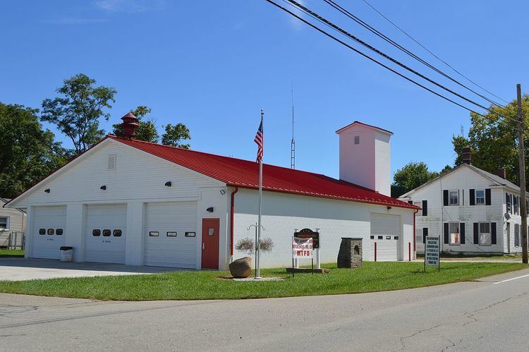
Darrtown is a census-designated place (CDP) in Milford Township, Butler County, Ohio, United States. The population was 516 at the 2010 census.
Contents
Map of Darrtown, OH 45056, USA
History
Darrtown was laid out in 1814 by Conrad Darr, and named for him. A post office called Darrtown was established in 1825, and remained in operation until 1907.
Geography
Darrtown is located in northwestern Butler County, in the southwest part of Milford Township, in the valley of Four Mile Creek.
State Route 177 runs through the center of the community, leading 8 miles (13 km) southeast to the city of Hamilton. Oxford is 5 miles (8 km) to the west via Route 177 and Route 73.
According to the United States Census Bureau, the CDP has a total area of 2.4 square miles (6.1 km2), all land.
Notable person
References
Darrtown, Ohio Wikipedia(Text) CC BY-SA