Country France Intercommunality CREA Area 4.93 km² | Region Normandy Population (2013) 9,515 Local time Friday 9:54 PM | |
 | ||
Weather 12°C, Wind SE at 18 km/h, 74% Humidity | ||
Darnétal is a commune in the Seine-Maritime department in the Haute-Normandie region in northern France.
Contents
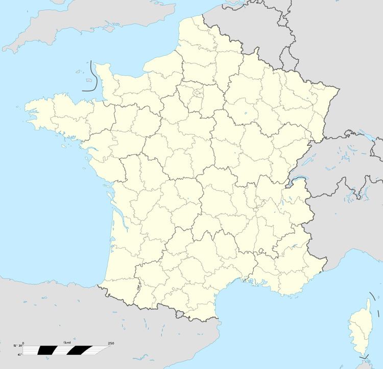
Map of 76160 Darn%C3%A9tal, France
Geography
A light industrial suburban town surrounded by woodland, situated some 2 miles (3.2 km) east of the centre of Rouen at the junction of the D43, D15 and the N31 roads. Two small rivers flow through the town, the Robec and the Aubette.
SNCF operates a TER service, having a railway station in the town.
Places of interest
Notable people
References
Darnétal Wikipedia(Text) CC BY-SA
