
Airport type Public Elevation AMSL 1,007 ft / 307 m 4,512 1,375 Phone +1 937-526-9126 | 9/27 4,512 Code VES | |
 | ||
Address 9724 Ohio 121, Versailles, OH 45380, USA Similar Eldora Speedway, Drivers License Examinati, Darke County Law Libra, Darke County Auto Title, Humane Society | ||
Plane makes emergency landing darke county airport
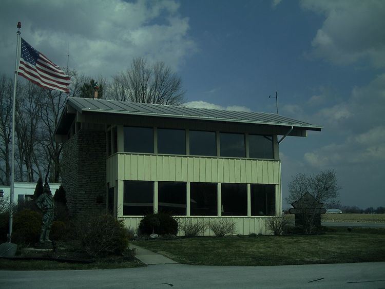
Darke County Airport (ICAO: KVES, FAA LID: VES) is a county owned, public use airport in Darke County, Ohio, United States. It is located two nautical miles (4 km) southwest of the central business district of Versailles. It is along State Route 121 just south of Versailles. Midmark operates a private jet from this airport. The airport is included in the National Plan of Integrated Airport Systems for 2011–2015, which categorized it as a general aviation facility.
Contents
Although most U.S. airports use the same three-letter location identifier for the FAA and IATA, this airport is assigned VES by the FAA, but has no designation from the IATA.
Facilities and aircraft
Darke County Airport covers an area of 42 acres (17 ha) at an elevation of 1,007 feet (307 m) above mean sea level. It has one runway designated 9/27 with an asphalt surface measuring 4,512 by 75 feet (1,375 x 23 m).
For the 12-month period ending July 17, 2012, the airport had 9,238 aircraft operations, an average of 25 per day: 99% general aviation, 1% air taxi, and <1% military. At that time there were 23 aircraft based at this airport: 91% single-engine, 4% multi-engine, and 4% jet.