Airport type Public Elevation AMSL 571 ft / 174 m 5,900 1,798 Elevation 174 m | 2/20 5,900 Code DAN Phone +1 434-799-5110 | |
 | ||
Website www.danville-va.gov/... Address 424 Airport Dr, Danville, VA 24540, USA | ||
Thscc autocross event 2 danville regional airport
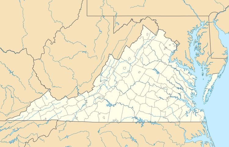
Danville Regional Airport, (IATA: DAN, ICAO: KDAN, FAA LID: DAN) is a public use airport located 3 miles (5 km) east of the central business district of Danville, Virginia, a city in Pittsylvania County, Virginia, United States. It is included in the Federal Aviation Administration (FAA) National Plan of Integrated Airport Systems for 2017–2021, in which it is categorized as a regional general aviation facility.
Contents
- Thscc autocross event 2 danville regional airport
- Chris and stephen drift danville regional airport
- Facilities and aircraft
- Taxiway revamp
- References
Chris and stephen drift danville regional airport
Facilities and aircraft
Danville Regional Airport covers an area of 800 acres (320 ha) at an elevation of 571 feet (174 m) above mean sea level. It has two asphalt paved runways: 2/20 is 5,900 by 100 feet (1,798 x 30 m) and 13/31 is 3,910 by 100 feet (1,192 x 30 m).
For the 12-month period ending August 31, 2014, the airport had 20,773 aircraft operations, an average of 57 per day: 99% general aviation and <1% military. In January 2017, there were 38 aircraft based at this airport: 33 single-engine, 3 multi-engine and 2 jets.
Taxiway revamp
In early January 2017, the City Council of Danville approved a 3.1 million dollar project to rebuild taxiway "A" at the airport while narrowing it to 35 feet. The project is being completed due to the ever increasing poor state of taxiway "A". Construction work is scheduled to begin in March 2017.
