
Country United States FIPS code 24-21675 Elevation 339 m Population 271 (2010) | Time zone Eastern (EST) (UTC-5) GNIS feature ID 2583604 Area 3 km² Local time Friday 7:25 AM | |
 | ||
Weather -2°C, Wind NW at 11 km/h, 62% Humidity | ||
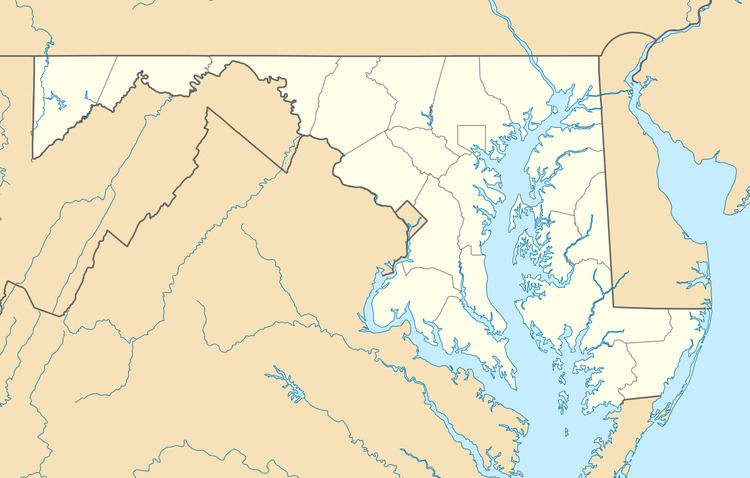
Danville is an unincorporated community and census-designated place (CDP) in Allegany County, Maryland, United States. As of the 2010 census it had a population of 271.
Map of Danville, MD 21557, USA
It is located along U.S. Route 220, 14 miles (23 km) southwest of Cumberland, Maryland, and 6 miles (10 km) northeast of Keyser, West Virginia. The community lies in a valley bounded by 2,800-foot (850 m) Dans Mountain to the northwest and 1,500-foot (460 m) Fort Hill to the southeast.
References
Danville, Allegany County, Maryland Wikipedia(Text) CC BY-SA