
Country India District Hooghly Population 249,840 (2011) Nearest city Serampore | State West Bengal Time zone IST (UTC+5:30) Local time Friday 3:36 PM | |
 | ||
Weather 34°C, Wind W at 11 km/h, 25% Humidity Neighborhoods Pardankuni, Rabindranagar, Himnagar | ||
Dankuni is a fast-growing industrial township near Kolkata, India. The town is part of the Hooghly District and under Serampore/Srirampore subdivision , in the state of West Bengal. It is a part of the area covered by Kolkata Metropolitan Development Authority.
Contents
- Map of Dankuni West Bengal
- Transport
- Private Bus Routes
- CTC Bus Routes
- WBSTC Franchise Bus
- STA Routes
- Bus Route Without Number
- Demographics
- Education
- Township project
- References
Map of Dankuni, West Bengal
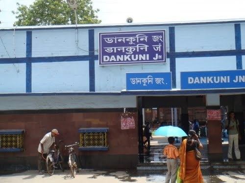
It is well-connected by road or trains from both Howrah Station and Sealdah Station. Dankuni Junction rail station is 15 km (9.3 mi) from Howrah Station. The nearest airport is the Netaji Subhas Chandra Bose International Airport located at Dum Dum, 20 km (12 mi) from Dankuni.
Major industries like "Mother Dairy","Coca Cola", "Dankuni Coal Complex Ltd", "Food Corporation of India", "Anmol Biscuits Ltd." and many other have been established. The town has witnessed great changes and developments in the recent years.
Transport
Both NH 19 and NH 16 terminate at Dankuni. The Palsit-Dankuni section of NH 19 (old numbering NH 2) is also referred to as Durgapur Expressway. Other major arteries meeting at Dankuni are Belghoria Expressway connecting to NH 12 (old numbering: NH 34), SH 13/ Dankuni-Mogra Delhi Road and SH 15.
A Locomotive Factory for Railways is under construction.
Dankuni railway station is located on the Howrah-Bardhaman chord, which was constructed in 1917. The Calcutta Chord from Dum Dum to Dankuni over the Willingdon Bridge (renamed Vivekananda Bridge) was opened in 1932. It is part of the Kolkata Suburban Railway system. Already, there is a growing presence of freight and wagon movements around Dankuni Railway Station, which is important as it connects Eastern Railway with South Eastern Railway with a link line. Dankuni, has a fast-growing freight yard, where goods traffic is moved, sorted, and packed to deliver at other destinations.
In the future, Dankuni is believed to play a significant role because it will be the endpoint of the Ludhiana-Dankuni leg of the Dedicated Freight Corridor that is being built by Indian Railways.
Private Bus Routes
CTC Bus Routes
WBSTC Franchise Bus
STA Routes
Bus Route Without Number
Demographics
In the 2011 census, Dankuni Urban Agglomeration had a population of 249,840, out of which 128,139 were males and 121,701 were females. The 0–6 years population was 22,956. Effective literacy rate for the 7+ population was 85.69 per cent.
Education
Dankuni is home to Shree Ramkrishna Sishu Tirtha High School, Patha Bhavan, The Methodist School,Ramkrishna Vidyashram, Garalgacha High School, The Abacus Central School,Methodist School,Usha Martin School, Dankuni,Bachpan Play School, etc.
Township project
A new township is being developed at Dankuni. According to the Kolkata Metropolitan Development Authority (KMDA) the project area is 4,846 acres (19.61 km2) of which 4,069 acres (16.47 km2) is township area and 777 acres (3.14 km2) is earmarked as industrial area. The project area covers 20 mouzas (villages) – 5 full and 15 part, spread across four police stations, namely Dankuni, Chanditala, Singur and Serampore. Important railway stations in the project area are Gobra, Janai Road and Begampur, apart from the important station at Dankuni itself, all on the Howrah-Bardhaman chord. Important road corridors cutting across the project area are Durgapur Expressway (NH2), Delhi Road, Naity Road and Serampore-Siakhala Road. The township is being developed by DLF. Once the ongoing work on the second Vivekananda Setu (across the Hooghly River) and the Belghoria Expressway through Nivedita Bridge is completed Dum Dum airport will be 20–25 minutes from Dankuni. Usha Martin School is new project in Dankuni.