
District Gautam Buddha Nagar Elevation 194 m Local time Friday 3:26 PM | Time zone IST (UTC+5:30) Population 11,982 (2001) | |
 | ||
Weather 26°C, Wind NW at 14 km/h, 23% Humidity | ||
Dalit family in up allege cop stripped naked at police station
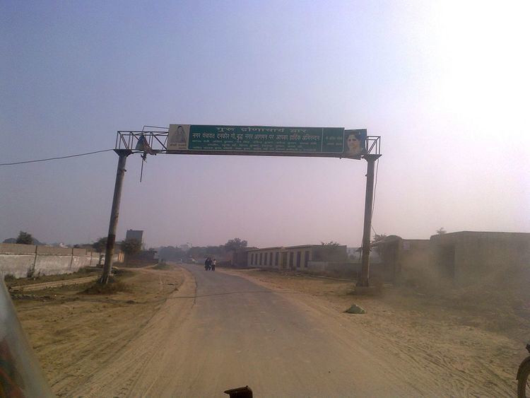
Dankaur is a town and a nagar panchayat in Gautam Buddha Nagar District in the state of Uttar Pradesh, India PIN 203201 .
Contents
- Dalit family in up allege cop stripped naked at police station
- Map of Dankaur Uttar Pradesh 203201
- First time on youtube wap 4 mahabodhi express sprints past dankaur at 130kmph
- Geography
- Demographics
- References
Map of Dankaur, Uttar Pradesh 203201
First time on youtube wap 4 mahabodhi express sprints past dankaur at 130kmph
Geography
Dankaur is located on 28.35°N 77.55°E / 28.35; 77.55. It has an average elevation of 194 metres (636 feet). It is situated approximately 55 kilometres east of Delhi along the bank of river Yamuna. The place is well connected by rail link on Northern Railway on Delhi-Aligarh link.
Demographics
As of 2011 India census, Dankaur had a population of 13,520. Males constitute 54% of the population and females 46%. Dankaur has an average literacy rate of 57%, lower than the national average of 59.5%: male literacy is 67% and, female literacy is 47%.
References
Dankaur Wikipedia(Text) CC BY-SA