
Country United States Time zone CST (UTC-6) Area 133.8 km² Population 928 (2010) | Established Before 1921 Elevation 199 m Local time Wednesday 8:13 PM | |
 | ||
ZIP codes 60911, 60930, 60938, 60970 Weather 7°C, Wind SW at 10 km/h, 50% Humidity | ||
Danforth Township is one of twenty-six townships in Iroquois County, Illinois, USA. As of the 2010 census, its population was 928 and it contained 385 housing units.
Contents
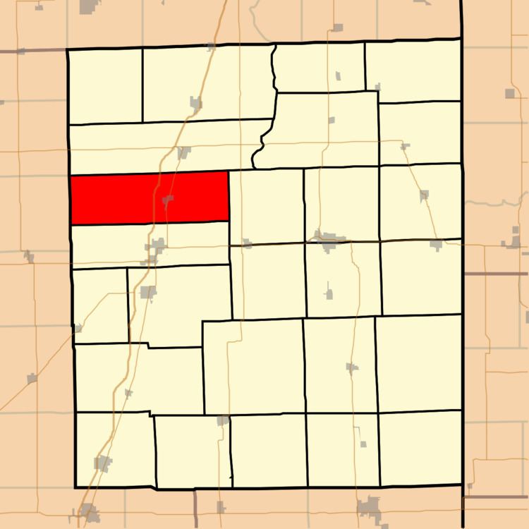
- Map of Danforth Township IL USA
- History
- Geography
- Cities towns villages
- Cemeteries
- Major highways
- Airports and landing strips
- School districts
- Political districts
- References
Map of Danforth Township, IL, USA
History
Danforth Township was named for George M. Danforth, an early settler. Danforth Township formed from Douglas Township and Ashkum Township sometime before 1921.
Geography
According to the 2010 census, the township has a total area of 51.64 square miles (133.7 km2), all land.
Cities, towns, villages
Cemeteries
The township contains Bardon Cemetery.
Major highways
Airports and landing strips
School districts
Political districts
References
Danforth Township, Iroquois County, Illinois Wikipedia(Text) CC BY-SA