
Country United States Time zone CST (UTC-6) Area 115.8 km² Local time Friday 5:58 PM | Established May, 1858 Elevation 199 m Population 2,104 (2010) | |
 | ||
ZIP codes 60930, 60938, 60955, 60959, 60970 Weather -2°C, Wind N at 14 km/h, 33% Humidity | ||
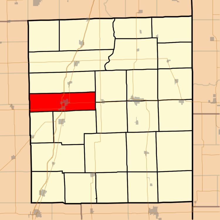
Douglas Township is one of twenty-six townships in Iroquois County, Illinois, USA. As of the 2010 census, its population was 2,104 and it contained 923 housing units. Douglas Township was formed from a portion of Onarga Township in May 1858.
Contents
- Map of Douglas Township IL USA
- Geography
- Cities towns villages
- Unincorporated towns
- Cemeteries
- Major highways
- Airports and landing strips
- School districts
- Political districts
- References
Map of Douglas Township, IL, USA
Geography
According to the 2010 census, the township has a total area of 44.72 square miles (115.8 km2), of which 44.65 square miles (115.6 km2) (or 99.84%) is land and 0.07 square miles (0.18 km2) (or 0.16%) is water.
Cities, towns, villages
Unincorporated towns
(This list is based on USGS data and may include former settlements.)
Cemeteries
The township contains Wenger Cemetery and St. Mary's Cemetery.
Major highways
Airports and landing strips
School districts
Political districts
References
Douglas Township, Iroquois County, Illinois Wikipedia(Text) CC BY-SA