
OS grid reference TL333213 Local time Thursday 1:55 AM Civil parish Little Munden | Region East Sovereign state United Kingdom Postcode district SG12 Dialling code 01920 | |
 | ||
Weather 8°C, Wind SW at 10 km/h, 100% Humidity | ||
3244 village store and post office in dane end hertfordshire for sale
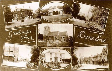
Dane End is a hamlet to the north of Ware in Hertfordshire, England situated between the A602 and A10. It is within Little Munden civil parish and East Hertfordshire District Council. It has a population of around 700, increasing to 952 at the 2011 Census. Dane End means the 'valley ends' and is located where a tributary of the River Lea comes off the surrounding chalk.
Contents
- 3244 village store and post office in dane end hertfordshire for sale
- Map of Dane End Ware UK
- Little Munden Primary School
- Sport
- References
Map of Dane End, Ware, UK
Little Munden Primary School
Little Munden School is a Church of England voluntary controlled primary school. It was founded in 1819 at All Saints Church by the Reverend J P Reynolds, who served as rector from 1819 to 1831. The school was designated as a Grade II listed building by English Heritage in 1984 as an early example of a parish school.
Sport
Football club Dane End United play in the East Hertfordshire Corinthians League, a local Sunday football league, and Ware and District five-a-side league. They play their home games in Horses Meadow. The Little Munden Cricket Club play at nearby Green End. Currently, it plays in the Herts & Essex Cricket League, Division 5.