
Population 401 (2011 census) Postcode(s) 6507 Elevation 193 m Local time Thursday 9:31 AM | Established 1850 gazetted 1958 Postal code 6507 | |
 | ||
Location 170 km (106 mi) North of Perth29 km (18 mi) West of Moora98 km (61 mi) South East of Jurien Bay Weather 24°C, Wind SE at 11 km/h, 63% Humidity | ||
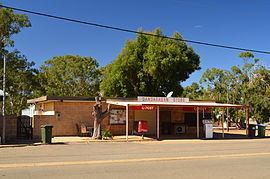
Dandaragan is a small town in the Wheatbelt region of Western Australia. The name of Dandaragan was first recorded in 1850 as the name of a nearby gulley and spring or watering hole known as Dandaraga spring. The word is Indigenous Australian in origin and is thought to mean good kangaroo country.
Map of Dandaragan WA 6507, Australia
The first recorded land lease was to William Brockman in 1848; he had a 6,000-acre (2,428 ha) land lease at Muchamulla Springs. James Drummond settled in the area in 1850 and established a farm. A police station was built later and the townsite was gazetted in 1958.
The Dandaragan plateau is the underlying geological feature of the area the town is located.
Select Harvests unsuccessfully attempted to grow a large almond orchard near Dandaragan between 2010 and 2015.