
Country India District Daman Sex ratio 1.69 ♂/♀ Area 72 km² | State Daman and Diu Time zone IST (UTC+5:30) Website www.daman.nic.in Elevation 5 m | |
 | ||
Weather 29°C, Wind W at 13 km/h, 46% Humidity Points of interest St Jerome fort daman, Basilica Of Bom Jesus Church, Moti Daman Fort, Daman Lighthouse, Dominican Monastery | ||
Daman /dəˈmɑːn/ (Damão in Portuguese), is a city and a municipal council in Daman district in the union territory of Daman & Diu, India.
Contents
- Map of Daman Daman and Diu
- Daman city
- History
- Daman villages
- Demographics
- Tourism
- Indian Coast Guard
- Schools and colleges
- References
Map of Daman, Daman and Diu
Daman city
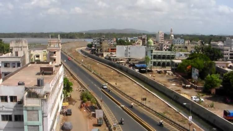
Daman is divided by the Daman Ganga River into two parts, namely Nani-daman (Nani meaning "small") and Moti-daman (Moti meaning "big"). Ironically, Nani-daman is the larger of the two towns. It is the downtown area that holds most of the important entities like the major hospitals, supermarkets and major residential areas. While Moti-daman is mainly the old city inhabited.
History
The Portuguese Diogo de Melo arrived at the spot by chance in 1523, when heading towards Ormuz but caught in a violent storm and having his boat blown towards the coast of Daman. Soon after it was settled as a Portuguese colony and remained so for over 400 years. A larger fort was built in Motidaman in the 16th century to guard against the Mughals who ruled the area until the Portuguese arrived. It still stands today, most of it preserved in its original form. Today the majority of the municipal government offices are situated inside this fort.
Daman was incorporated into the Republic of India in December 1961 after a battle between the Portuguese and the Indians. The battle left four Indians dead and 14 wounded, and ten Portuguese dead and two wounded.
Daman villages
There are many small villages around Daman, such as Bhenslore, Kunta, Bhimpor, Kadaiya, Devka Mangelad, Varkund and Khariwad. These villages mainly act as residential areas for lower-middle-class families.
Demographics
According to the 2011 census Daman District, India has a population of 191,173, roughly equal to the nation of Samoa. This gives it a ranking of 592nd in India (out of a total of 640). The district has a population density of 2,655 inhabitants per square kilometre (6,880/sq mi) . Its population growth rate over the decade 2001-2011 was 69.256%. Daman has a sex ratio of 533 females for every 1,000 males, and a literacy rate of 88.06%.
Tourism
Indian Coast Guard
Indian Coast Guard Air Station, Daman is the premier air station of the Coast Guard and with all the airfield facilities, air traffic control and other allied air traffic services. The air station is equipped with state-of-the-art airport surveillance radar (ASR), precision approach path indicator (PAPI), Doppler very high frequency omnidirectional radio range (DVOR) – distance measuring equipment (DME) and nondirectional beacon (NDB), as navigational aids. This air station provides ATC and parking facilities to defence as well as civil aircraft.