
Website www.damal.bel.tr Local time Thursday 9:18 AM | Post code 75600 Area 160 km² | |
 | ||
Weather -4°C, Wind SE at 13 km/h, 70% Humidity | ||
Damal, formerly Petereke, is a town and district of Ardahan Province of Turkey, on the road from Kars to Posof.
Contents
Map of Damal, 75600 Damal%2FArdahan Province, Turkey
History
Damal is on a route across the traditional Silk Road, connecting the Caucasus from Europe to Central Asia and has changed hands many times throughout history, between Medes, Persians, Ancient Romans, Byzantines and finally the Ottoman Turks. The region was briefly controlled by Imperial Russia but later restored to Turkey after World War One.
Geography
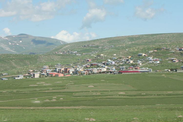
This is a rural area in high mountain, a collection of villages rather than a district built around a central town, watered by mountain springs, the district was created in order to bring more public buildings and government jobs and thus stem the drift of people away from the area. This part of a Turkey has a cold, hard climate, temperatures drop to -38°C(36,4°F) in winter.
The rag dolls of Damal are renowned and have won prizes in craftwork festivals.