
Country Bangladesh District Sunamganj District Area 303.2 km² | Division Sylhet Division Time zone BST (UTC+6) Population 183,881 (2011) | |
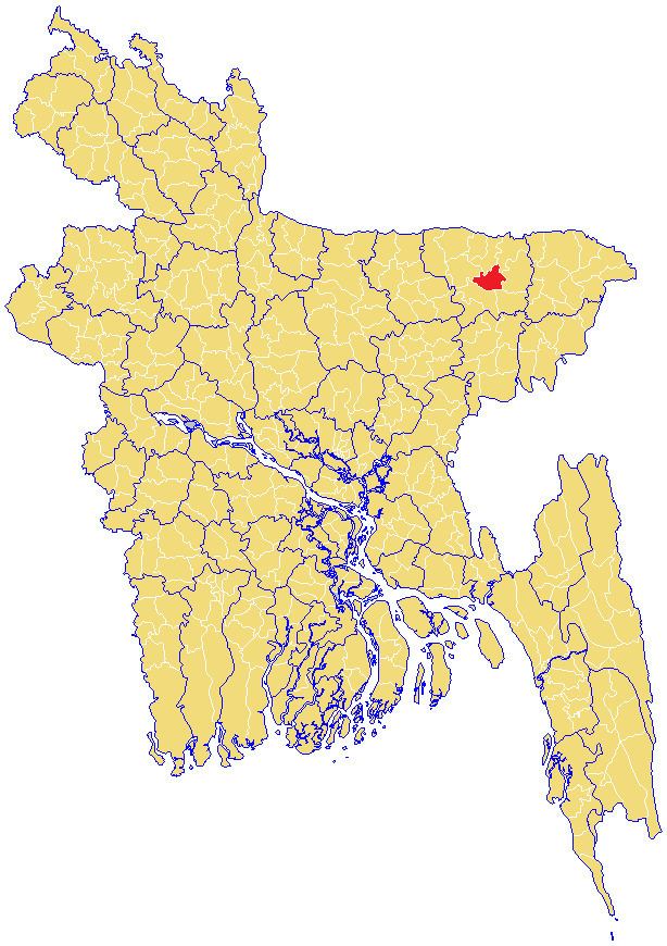 | ||
Dakshin Sunamganj Upazila (Bengali: দক্ষিণ সুনামগঞ্জ উপজেলা; translation: South Sunamganj sub-district) is an Upazila (sub-district) of Sunamganj District in the Division of Sylhet, Bangladesh.
Contents
Formerly part of Sunamganj Sadar Upazila, it was formed as a separate upazila in 2007.
Geography
Dakshin Sunamganj is located in between 24°49' and 25°10' north latitudes and in between 91°14' and 91°27' east longitudes. It has a total area of 303.17 km2.
Demographics
Dakshin Sunamganj has a total population of 183,881, per the 2011 census. The literacy rate and school attendance is below average of the Sunamganj District, with 32.3% and 43.8% respectively. There are 8 unions within the upazila, with a total of 107 mauzas and 171 villages.
With over 32,000 households, majority (80.6%) of these are kancha or kucha houses which are made from mud or clay, while a few are semi or full pucca houses. A small minority of these houses have access to sanitary latrine (29.2%), majority have non-sanitary latrine (60.4%) and 10.4% do not have toilet facilities available. Electricity within the upazila was available to 38.4% of the population.
Predominantly the population is Muslim (90.3%), a small minority is Hindu (9.7%), and very few following other religions.
Administration
List of unions located within Dakshin Sunamganj: