
Max. length 54 km (34 mi) Ocean/sea source Atlantic Ocean | Max. width 32 km (20 mi) | |
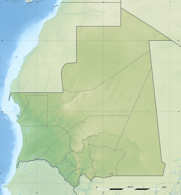 | ||
Dakhlet Nouadhibou is a bay on the Atlantic shore of Mauritania.
Contents
Map of Baie du L%C3%A9vrier, Islamic Republic of Mauritania
Geography
The bay is open towards the south and contains numerous shoals. It is limited by the Cap Blanc headland on its western side.
In French maps the inner bay is known as Baie de l'Archimède and the wider bay as Baie du Lévrier. Currently the Dakhlet Nouadhibou Region, an administrative division of Mauritania, is named after it.
References
Dakhlet Nouadhibou Wikipedia(Text) CC BY-SA