
Elevation 940 m (3,080 ft) Postal code 37xxx Area 973 km² Area code 366 | Time zone EET (UTC+2) Licence plate 37 Local time Wednesday 9:04 PM | |
 | ||
Weather 6°C, Wind SE at 10 km/h, 59% Humidity | ||
Stickly daday an tch money k s c di gang directed by jistaf
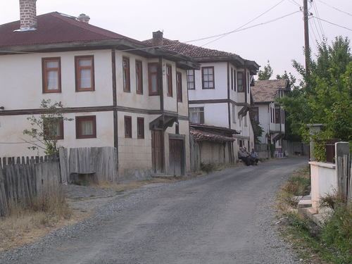
Daday is a town and district of the Kastamonu Province in the Black Sea region of Turkey. It is located at 30 km west of Kastamonu. According to the 2000 census, population of the district is 11,181 of which 4,625 live in the town of Daday. The district covers an area of 998 km2 (385 sq mi), and the town lies at an elevation of 940 m (3,084 ft). The terrain is mainly mountainous and covered with pine trees. The town is located in a valley on a small river. The economy is based primarily on agriculture and forestry products. Daday is known for its famous etliekmek, the traditional food of the Kastamonu region.
Contents
- Stickly daday an tch money k s c di gang directed by jistaf
- Map of Daday Merkez Mahallesi 37870 Daday2FKastamonu Turkey
- Once again push mo pa daday
- History
- References
Map of Daday, Merkez Mahallesi, 37870 Daday%2FKastamonu, Turkey
Once again push mo pa daday
History
In the late 19th and early 20th century, Daday was part of the Kastamonu Vilayet of the Ottoman Empire.
References
Daday Wikipedia(Text) CC BY-SA