
Time zone CET (UTC+1) Area 17.01 km² | Population (2012) 25,912 INSEE/Postal code 69275 / 69150 Local time Wednesday 9:14 PM | |
 | ||
Weather 9°C, Wind SE at 0 km/h, 72% Humidity | ||
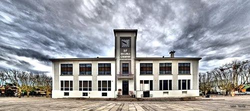
Décines-Charpieu is a commune in the Metropolis of Lyon in Auvergne-Rhône-Alpes region in eastern France. The name of the city is often shortened and simply called Décines.
Contents
- Map of DC3A9cines Charpieu France
- Geography
- History
- Education
- Notable sites
- Surrounding cities
- People
- References
Map of D%C3%A9cines-Charpieu, France
Geography
Décines is located near Grand Large reservoir, and Lyon is located 12 kilometres west.
History
Décines left the department of Isère to join the department of Rhône in 1968, and became of a member of the Communauté urbaine de Lyon in 1969. On 1 January 2015 Décines left the department of Rhône to join the Metropolis of Lyon.
Education
As of 2009 there were nine public preschools (maternelles), nine public elementary schools (some preschools and elementary schools are grouped into combined primary schools), two public junior high schools (Collège Georges Brassens and Collège Maryse Bastie), and one public senior high school/sixth-form college (Lycée d'Enseignement Polyvalent Chaplin-Becquerel).
There is one Catholic private day school, Ecole maternelle/primaire/Collège Jeanne d'Arc.
There is an Islamic day school, Groupe scolaire Al Kindi.