Type Bay Max. length 14 kilometres (8.7 mi) Settlements HainesD'Estrees Bay | Basin countries Australia Max. depth 27 m (89 ft) | |
 | ||
Similar Cape Gantheaume Conserva, Vivonne Bay, Pelican Lagoon, Beyeria Conservation Park, Lashmar Conservation Park | ||
D'Estrees Bay (French: Baie D'Estrees) is a bay in the Australian state of South Australia located on the southern coast of Kangaroo Island about 39 kilometres (24 mi) south of Kingscote, the Island's principal centre.
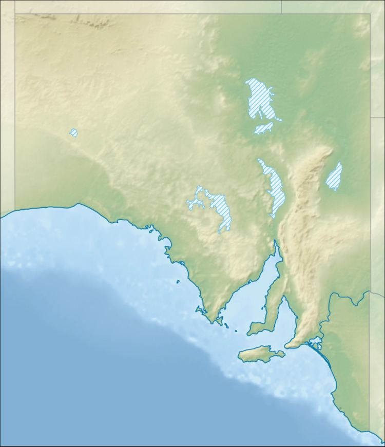
Map of D'Estrees Bay, South Australia, Australia
D’Estrees Bay was named in 1803 by Peron and Freycinet of the Baudin expedition to Australia after Victor-Marie d'Estrées, a Marshal of France.
The bay extends from Point Tinline in the south west to Point Reynolds in the north east, with the beach being sandy and accessible for most of the bay's length.
The western side of the bay contains a settlement consisting of “single detached dwellings and recreation facilities for holiday makers and permanent residents.”
The land at the bay's south west end is currently part of the Cape Gantheaume Conservation Park.
