
Listing Hewitt, Nuttall Elevation 811 m | OS grid SH711130 Prominence 36 m Easiest route Hiking | |
 | ||
Topo map OS Landranger 124, Explorer OL23 Mountain range Cadair Idris and the Tarren range Similar Cadair Idris, Craig Cwm Amarch, Gau Graig, Tyrrau Mawr, Craig‑y‑llyn | ||
Cadair idris cyfrwy arete by table direct
Cyfrwy is a subsidiary summit of Cadair Idris in the Snowdonia National Park, in Gwynedd, northwest Wales. It lies to the west of Cadair Idris and is often climbed with Cadair Idris by taking the Pony Path.
Contents
Map of Cyfrwy, Dolgellau, UK
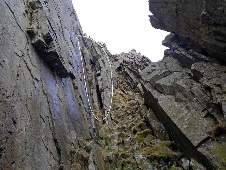
The summit is bare and rocky and marked with a cairn. The north and east face has large cliffs. A rock climb/extreme scramble known as the Cyfrwy ridge is found here. This ridge is very steep and rope and rock climbing skills will be needed. To the east is Tyrrau Mawr and Craig-y-llyn, while to the south is Craig Cwm Amarch.
Climbing cyfrwy arete
References
Cyfrwy Wikipedia(Text) CC BY-SA