
Population 739,474,738,293,874 Sovereign state United Kingdom Local time Tuesday 1:27 AM Dialling code 01267 | OS grid reference SN423173 Country Wales Post town CARMARTHEN | |
 | ||
Weather 4°C, Wind W at 19 km/h, 83% Humidity Welsh assembly Carmarthen East and Dinefwr | ||
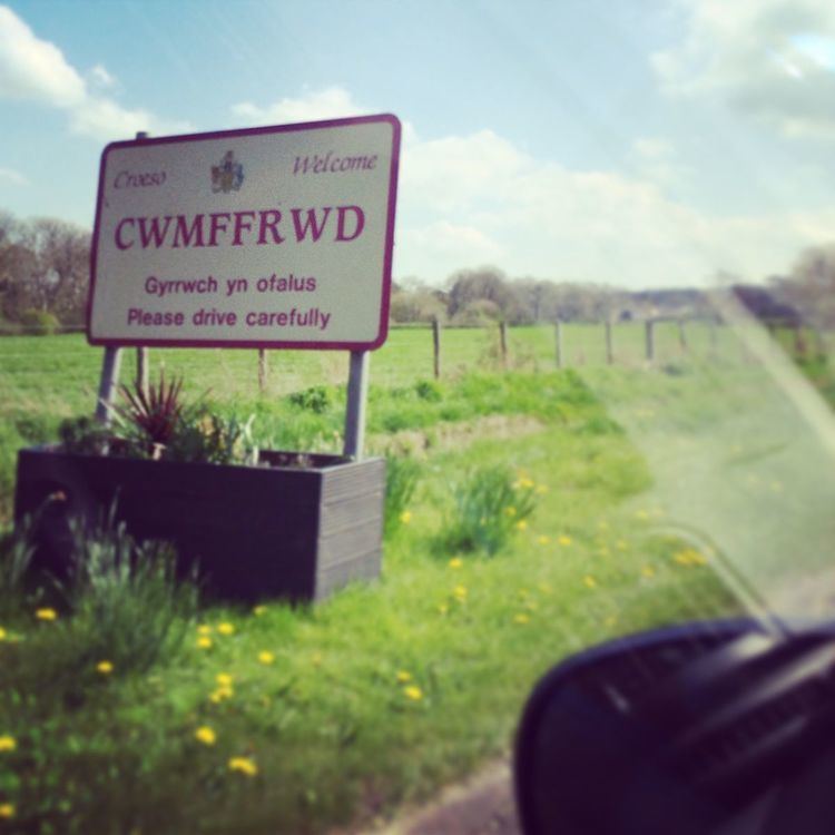
Cwmffrwd is a village in Carmarthenshire, Wales, located around two miles (3.2 km) south of Carmarthen.
Contents
Map of Cwmffrwd, Carmarthen, UK
Cwmffrwd is mainly a 20th-century settlement dominating the small river Nant Cwmffrwd, with some 19th-century elements. Its main access road, Heol Nantyglasdwr, connects the village to the A484 and leads directly into the main residential street, Maesglasnant.
The village is known in the English-speaking world for having a name spelled without vowels. In the Welsh language, however, the name is considered to have seven letters rather than eight ('ff' is treated as a single letter), while both 'w's are considered vowels.
It has never been clarified if the stone bridge over the river Nant Pibwr north of Cwmffrwd, at the old highway leading to Carmarthen, had been built on remains of Roman foundations.
Landmarks
St. Anne’s is a small, attractive and well-maintained church north-east of the village.
Transport
Buses stop in both directions on the A484.
The reference to Monmouthshire Railway and Canal Company was for Cwmffrwyd, near Cardiff and not this Cwmffrwd, near Carmarthen.