
Founded May 2, 1854 Time zone PET (UTC-5) Elevation 3,450 m | Region Puno Capital Cuyocuyo UBIGEO 211202 Area 503.9 km² | |
 | ||
Geography
The Apolobamba mountain range traverses the district. Some of the highest mountains of the district are listed below:
Ethnic groups
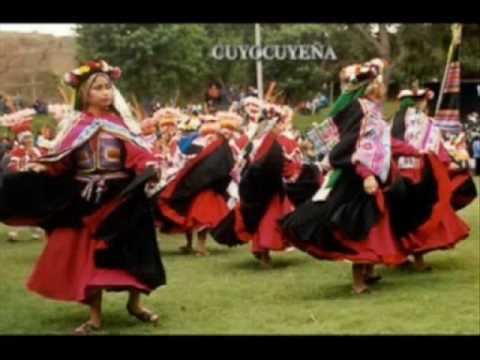
The people in the district are mainly indigenous citizens of Quechua descent. Quechua is the language which the majority of the population (79.81%) learnt to speak in childhood, 19.79% of the residents started speaking using the Spanish language (2007 Peru Census).
References
Cuyocuyo District Wikipedia(Text) CC BY-SA