
NRHP Reference # 81000207 Local time Monday 3:28 PM Added to NRHP 3 February 1981 | Area 12 ha Year built 1877 | |
 | ||
Weather -6°C, Wind SW at 11 km/h, 68% Humidity | ||
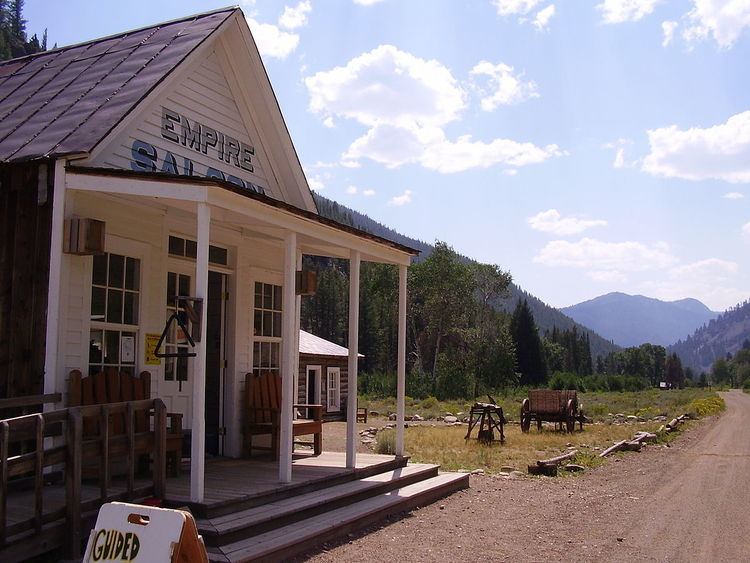
Custer is a ghost town in Custer County, Idaho, United States. Established in 1877, it is located at 44°23′15″N 114°41′45″W (44.3874133, -114.6959118), at an elevation of 6,470 feet (1,972 m). It lies along Yankee Fork Road southwest of the city of Challis, within the Challis National Forest.
Map of Custer, ID 83278, USA
In 1981, the community was listed on the National Register of Historic Places as a historic district. Although the district covers an area of 29 acres (12 ha), only seven buildings retain enough historic integrity to qualify as contributing properties.
Most of Custer is now included in the Land of the Yankee Fork State Park, which also includes the historic Yankee Fork gold dredge, nearby.
References
Custer, Idaho Wikipedia(Text) CC BY-SA