
Traversed by SH 9 Elevation 2,891 m | Topo map USGS Dicks Peak | |
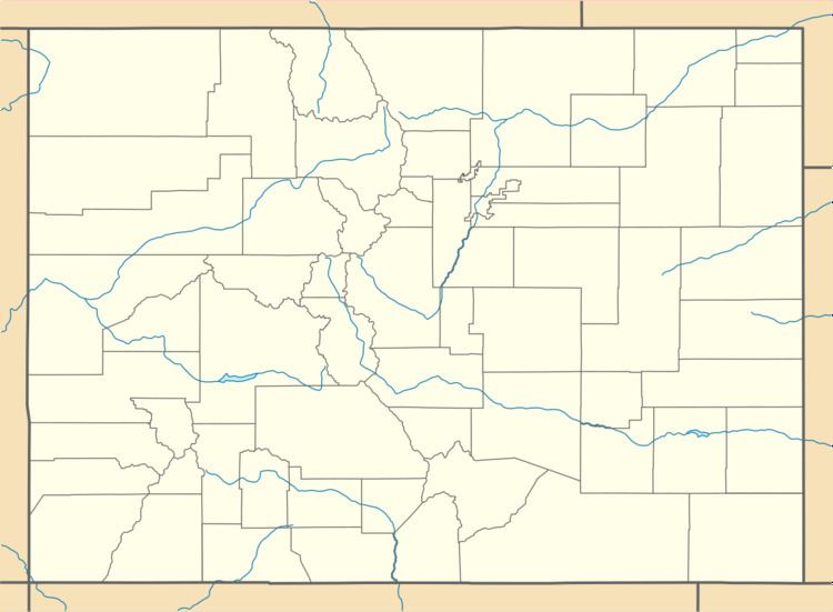 | ||
Location Park County, Colorado, U.S. | ||
Currant Creek Pass elevation 9,485 ft (2,891 m) is a mountain pass in the Front Range of central Colorado in the United States. The pass is a boundary between the Arkansas River basin and the Platte River basin.
Map of Currant Creek Pass, Colorado 80820, USA
References
Currant Creek Pass Wikipedia(Text) CC BY-SA