
Population 603 (2006 census) Postcode(s) 2381 Founded 1890 Local time Tuesday 5:44 AM | Established 1890 County Pottinger Elevation 247 m Postal code 2381 | |
 | ||
Weather 16°C, Wind SE at 13 km/h, 79% Humidity | ||
Curlewis is a parish and a rural village on the Kamilaroi Highway, 16 kilometres south of Gunnedah, New South Wales in Australia. The village boundaries are in the Gunnedah Shire local government area of the North West Slopes portion of the New England region.
Contents
Map of Curlewis NSW 2381, Australia
History
Curlewis was founded by Henry Thomas Pike, a sawmiller from Norfolk who became the mayor of Gunnedah.
In 1909 the railway station opened as a stop on the Mungindi branch line, but has since closed. Livestock sales commenced in 1919 in Curlewis and were, for many years, held in alternate weeks at Gunnedah and Curlewis until improvements to the Gunnedah saleyards, eclipsed Curlewis's yardings and led to yard’s closure.
The lack of a nearby river has contributed to Curlewis having persistent water problems and water shortage. In 1950, the council had to desilt an old earthen dam and erect a tank from which Curlewis residents could draw water. Reticulated water was connected to Curlewis in 1972.
Population
In the 2006 census, Curlewis had a resident population of 603 people: 53.4% were males and 46.6% were females. There were 12.8% indigenous persons, compared with 2.3% indigenous persons in Australia. The most common forms of employment for residents were in education 5.6%, sheep, beef cattle and grain farming 5.1% and coal mining 4.6%.
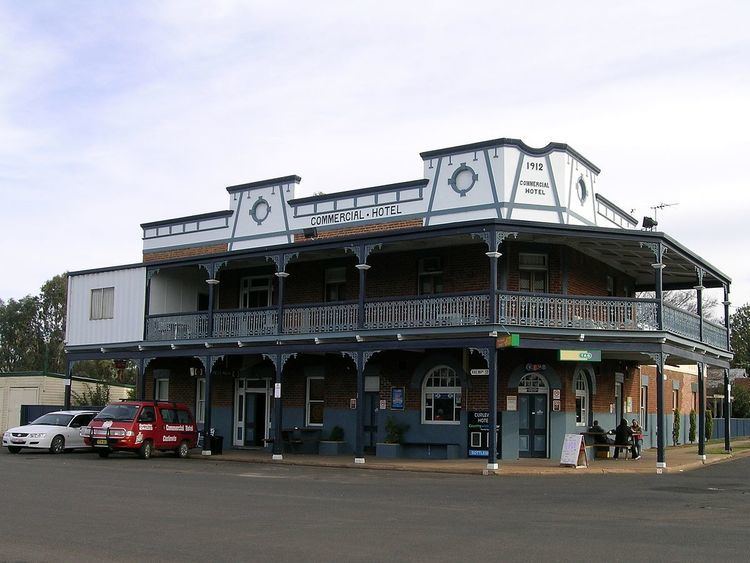
Curlewis now has a hotel, a public school (with 49 pupils enrolled), a general store, grain silo, police station, sports ground and a Rural Fire Service.
The Curlewis area is home to a large koala population and they may be seen on local farms, in the woodlands and village.