
Area 296 acres (1.20 km) Phone +1 631-852-8111 | Open Seasonal | |
 | ||
Address 906 Dune Rd, Westhampton Beach, NY 11978, USA Similar Smith Point County Park, Pike's Beach, Shinnecock East County P, Robert Moses State Park, Orient Beach State Park | ||
Seals at cupsogue beach county park ny 2013 04 07
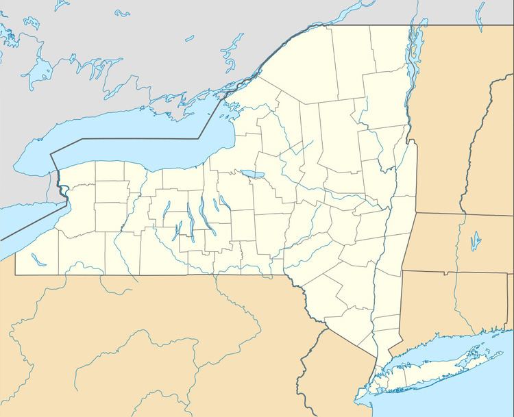
Cupsogue Beach County Park is a 296-acre (1.20 km2) park at the east end of Fire Island and the west end of Westhampton Island, known locally as Dune Road, one of Long Island's easternmost barrier islands. The park is surrounded by the Atlantic Ocean, Moriches Inlet and Moriches Bay.
Contents
- Seals at cupsogue beach county park ny 2013 04 07
- Cupsogue beach county park westhampton ny 03 17 12
- Location
- Park description
- History
- References
Cupsogue beach county park westhampton ny 03 17 12
Location
Though the park exists on both sides of the Moriches Inlet and is located entirely within the Town of Brookhaven, it is only accessible from the western terminus of Dune Road, which itself is in the Town of Southampton. The closest bridge to the park is for Jessup Lane in the village of Westhampton Beach between Moriches Bay and Moneybogue Bay. The park's eastern border is the Brookhaven/Southampton town line and the village of Westhampton Dunes.
Park description
This 296-acre (1.20 km2) barrier beach park offers lifeguard-supervised swimming, sunbathing, fishing, scuba diving, and special events. A food concession, restrooms, first aid center (staffed by an EMT during the summer months), showers and changing rooms are all situated at Cupsogue's pavilion. Camping and recreational vehicles are permitted along the access road running parallel to the outer beach. Diving is permitted at slack tide on the bay side of the park only, where water depth is approximately 12 feet (3.7 m).
Most facilities at the park can be found on the east side of Moriches Inlet. The segment of the park on the west side is preserved land that is divided by a strip of town parkland separating Cupsogue from Smith Point County Park.
This park is home to many piping plovers, a federally protected shorebird.
History
Dated from the 1690s, the Native American word Cupsogue means "a closed inlet". The park's land was entirely part of Fire Island until a 1931 Nor'easter created the Moriches Inlet, which enlarged between 1933 and 1938. The park was acquired by the Suffolk County Parks Department in the 1950s, and by the 1970s Cupsogue Beach County Park was given a pavilion and boardwalk.
A breach connecting the Atlantic Ocean and Great South Bay occurred on the east end of the park as a result of high tides during Hurricane Sandy in 2012. The breach widened from 150 feet (46 m) to 300 feet (91 m) less than a week later when a Nor'easter hit. Officials closed the breach with a $6 million project that pumped in 200,000 cubic yards (150,000 m3) of sand.