
Genus Cumulus (heap) Classification Family C (low-level) Minimum altitude (feet) 1,500 | Species humilis (humble) Abbreviation Cu hum Maximum altitude (feet) 10,000 | |
 | ||
Precipitation cloud? Uncommon, but it can be an indicator for development of storms within 12 to 24 hours. Indicates precipitation Usually No, but could indicate an unstable atmosphere, and impending storms in the future. | ||
Cumulus humilis clouds time lapse
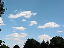
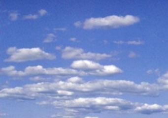
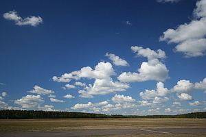
Cumulus humilis is a cumuliform cloud with little vertical extent that is commonly referred to as "fair weather cumulus" and common in the summer. Though if they develop into cumulus mediocris cloud or the cumulus congestus cloud it may mean thunderstorms later in the day.
Contents
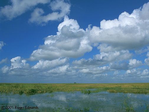
It is generally classified as a low cloud, but in hot countries and over mountainous terrain these clouds occur at up to 6,000 m (20,000 ft) altitude. Elsewhere they are typically found lower levels (500–3000 m (1,500–10,000 ft)). They have a limited depth (technically known as showing no significant vertical development). This indicates that the temperature in the atmosphere above them either drops off very slowly or not at all with altitude, depending on its lapse rate. Cumulus humilis may be accompanied by other cloud types, and they are commonly seen beneath cirrostratus clouds, created as the heat from the sun needed for convection begins to cool, causing cumuliform clouds to flatten and become cumulus humilis. In this case, a warm front could be approaching and this means rain is likely in the next 12 to 24 hours. When they appear in a clear sky (see picture), they are an indicator of pleasant weather for the next several hours.
Air below the cloud base can be quite turbulent, giving occupants of light aircraft an uncomfortable ride. To avoid turbulence where such clouds are present, pilots may climb above the cloud tops. However, glider pilots actively seek out the rising air to gain altitude.
These clouds may later grow to larger cumulus clouds under the right conditions, though the presence of these types of clouds usually indicates fair weather.
Forecasting
If these clouds are present in the morning it is a sign of an unstable atmosphere. Larger clouds and possibly thunderstorms could form throughout the day to cause bad or severe weather in the afternoon or evening. Cumulus humilis clouds are not rain clouds but could show an impending storm in the future.
Formation

They are formed by rising warm air or thermal that has been heated by the ground, which in turn has been heated by the sun. It is a usually very small convective cloud and form usually only after a thermal reaches dew point. They can also form into cumulus mediocris cloud then can easily dissipate only minutes after formation.