
Genus Cumulus (heaped) Classification Family C (low-level) Minimum altitude (feet) 1,500 | Species mediocris (moderate) Abbreviation Cu med Maximum altitude (feet) 10,000 | |
 | ||
Indicates precipitation Usually, no, but may further advance into larger clouds such as cumulus congestus, and cumulonimbus, which are precipitation clouds. | ||
Cumulus mediocris clouds and funnel south sardinia 27 may 2015
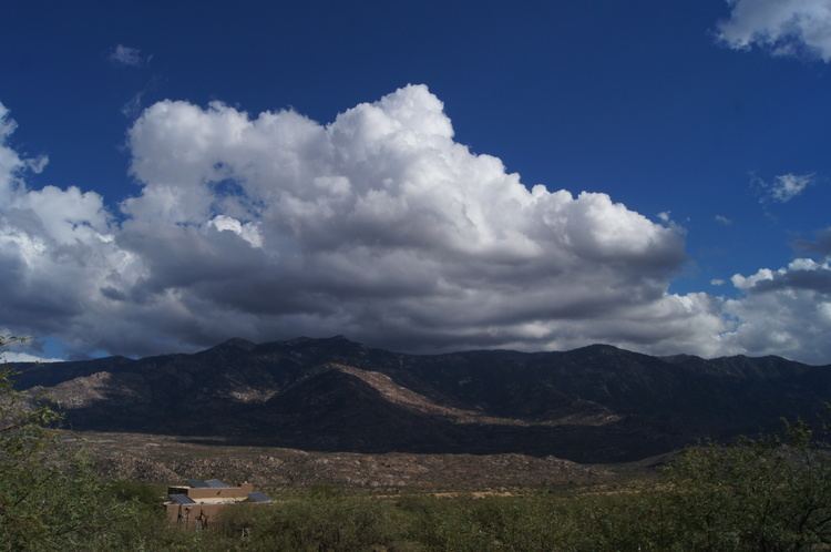
Cumulus mediocris is a low to middle level cloud with some vertical extent (Family D1) of the genus cumulus, larger in vertical development than cumulus humilis. It also may exhibit small protuberances from the top. It may or may not show the cauliflower form characteristic of cumulus clouds. These clouds do not generally produce precipitation of more than very light intensity, but may further advance into clouds such as cumulus congestus and Cumulonimbus, which do.
Contents
- Cumulus mediocris clouds and funnel south sardinia 27 may 2015
- Cumulus mediocris cloud animation p cel hungary 4th of august 2015
- Classification
- Forecasting
- Formation
- References

Cumulus mediocris cloud animation p cel hungary 4th of august 2015
Classification

Species Cumulus mediocris (Cu med) achieves moderate vertical development, has medium-grey shading underneath. This larger species is also classified as a low cloud by some authorities and is coded CL2 on the synop report.

Forecasting

These clouds are common in the advance of a cold front or in unstable atmospheric conditions such as an area of low pressure. They can grow into larger clouds (Cumulus Congestus) which could bring rain, winds and in worse cases, thunder and lightning. If these clouds are present in the morning or early afternoon they show a significant instability in the atmosphere likely leading to storms later in the day (if cloud is thickening, if thinning can lead to calm weather).
Formation
These clouds occur when there is more rising air than the Cumulus Humilis. Like any cumulus cloud this cloud requires convection before developing. This occurs when pockets of air around them become warmer and begin to rise. As the air rises it condenses forming a cumulus humilis cloud as it continues to rise, a cumulus mediocris.