
Area 1,489 km² Population 8,996 (2013) | Founded 1855 Unemployment rate 2.2% (Apr 2015) | |
 | ||
Website www.cumingcounty.ne.gov Rivers Elkhorn River, Logan Creek, Cuming Creek, Pebble Creek | ||
Cuming County is a county in the U.S. state of Nebraska. As of the 2010 census, the population was 9,139. Its county seat is West Point.
Contents
- Map of Cuming County NE USA
- History
- Geography
- Major highways
- Adjacent counties
- Demographics
- Cities
- Villages
- References
Map of Cuming County, NE, USA
In the Nebraska license plate system, Cuming County is represented by the prefix 24 since it had the 24th largest number of vehicles registered in the state when the license plate system was established in 1922.
History
Cuming County was formed in 1855 and organized in 1857. It was named after Thomas B. Cuming, an early governor of this territory.
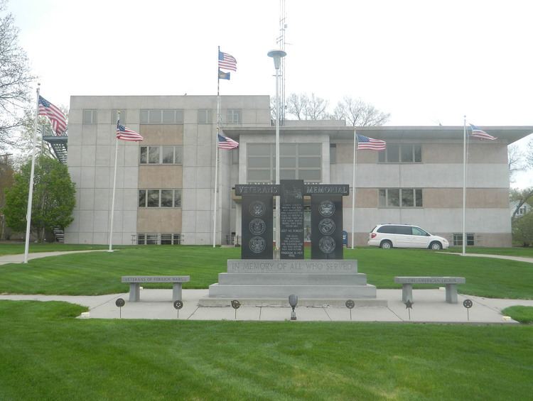
The courthouse dates from the 1950s.
Geography
According to the U.S. Census Bureau, the county has an area of 575 square miles (1,490 km2), of which 571 square miles (1,480 km2) is land and 4.0 square miles (10 km2) (0.7%) is water.
Major highways
Adjacent counties
Demographics
As of the census of 2000, there were 10,203 people, 3,945 households, and 2,757 families residing in the county. The population density was 18 people per square mile (7/km²). There were 4,283 housing units at an average density of 8 per square mile (3/km²). The racial makeup of the county was 95.88% White, 0.13% Black or African American, 0.28% Native American, 0.20% Asian, 0.03% Pacific Islander, 2.63% from other races, and 0.85% from two or more races. 5.48% of the population were Hispanic or Latino of any race. 67.4% were of German and 5.6% American ancestry according to Census 2000.
There were 3,945 households out of which 32.60% had children under the age of 18 living with them, 61.70% were married couples living together, 5.30% had a female householder with no husband present, and 30.10% were non-families. 27.10% of all households were made up of individuals and 14.90% had someone living alone who was 65 years of age or older. The average household size was 2.53 and the average family size was 3.08.
In the county, the population was spread out with 27.20% under the age of 18, 6.50% from 18 to 24, 25.20% from 25 to 44, 20.90% from 45 to 64, and 20.20% who were 65 years of age or older. The median age was 39 years. For every 100 females there were 102.10 males. For every 100 females age 18 and over, there were 99.20 males.
The median income for a household in the county was $33,186, and the median income for a family was $38,369. Males had a median income of $26,577 versus $19,246 for females. The per capita income for the county was $16,443. About 7.00% of families and 9.00% of the population were below the poverty line, including 9.80% of those under age 18 and 7.80% of those age 65 or over.