
Elevation 513.66 m (1,685.2 ft) | Period Precambrian Types of rock Granite, Gneiss | |
 | ||
Similar Cuchilla de Haedo, Cerro Catedral, Cerro de las Ánimas, Río Negro, Santa Lucía River | ||
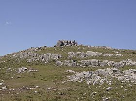
Cuchilla Grande is a hill range that crosses the west part of Uruguay from north to south. It extends from the south part of Cerro Largo Department, through the departments of Treinta y Tres and Lavalleja and ends in Maldonado Department where it forms its highest peaks.
Contents
Noted features
In the southern part of this range, there is the Cerro Catedral, the highest point of the country. This hill is situated in the Maldonado Department.
Also found in this range is the Cerro Pan de Azúcar, likewise situated in the Maldonado Department, near Piriápolis.
Secondary ranges
References
Cuchilla Grande Wikipedia(Text) CC BY-SA